![GOES-16 True Color RGB images [click to play animation | MP4]](https://cimss.ssec.wisc.edu/satellite-blog/images/2020/07/GOES-16__ABI_RadF_true_color_Bolivia_2020186.gif)
GOES-16 True Color RGB images (credit: Tim Schmit, ASPB/CIMSS) [click to play animation | MP4]
VIIRS True Color RGB images from Suomi NPP and NOAA-20 as visualized using RealEarth (below) provided a more detailed view at the blowing dust plumes.
![VIIRS True Color RGB images from Suomi NPP and NOAA-20 [click to enlarge]](https://cimss.ssec.wisc.edu/satellite-blog/images/2020/07/200704_suomiNPP_noaa20_viirs_trueColorRGB_blowing_dust_Bolivia_anim.gif)
VIIRS True Color RGB images from Suomi NPP and NOAA-20 [click to enlarge]
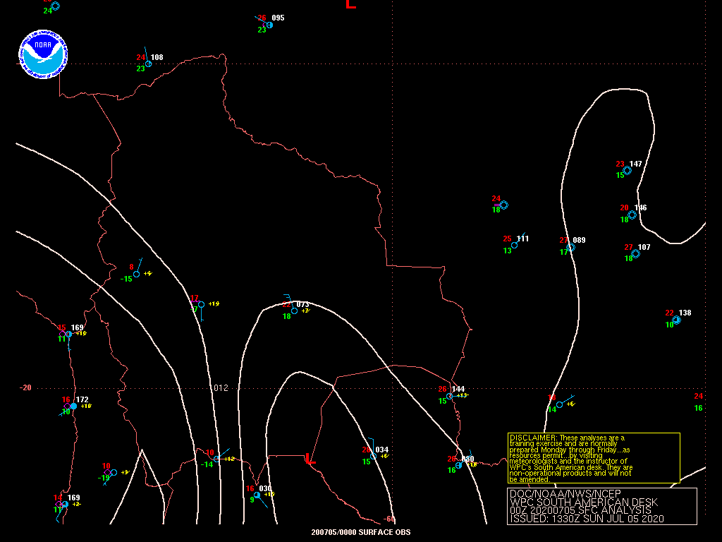
![Plot of surface report data from Viro Viru International Airport [click to enlarge]](https://cimss.ssec.wisc.edu/satellite-blog/images/2020/07/200704_SLVR_SFCMG.GIF)
Plot of surface report data from Viro Viru International Airport [click to enlarge]
Thanks to Santiago Gassó for pointing out these dust features.
Dust activity yesterday at sunset in Bolivia pic.twitter.com/WmgaRRuVX4
— Santiago Gassó (@SanGasso) July 5, 2020
from CIMSS Satellite Blog https://cimss.ssec.wisc.edu/satellite-blog/archives/37461
No comments:
Post a Comment