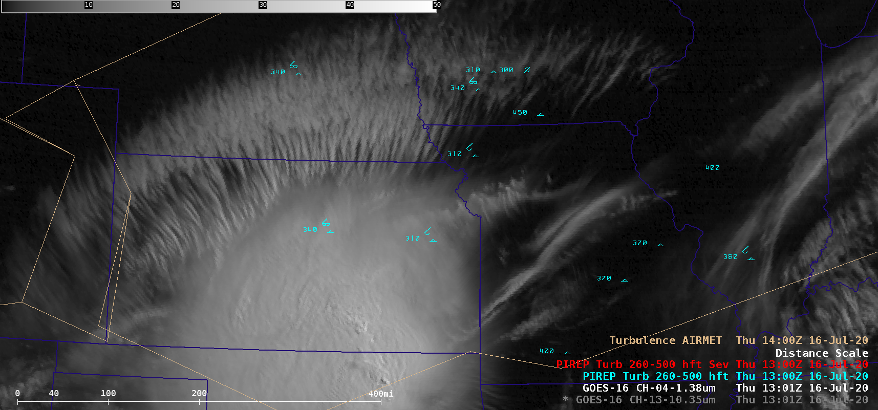
GOES-16 “Clean” Infrared Window (10.35 µm) and Near-Infrared “Cirrus” (1.38 µm) images [click to play animation | MP4]
As a Mesoscale Convective System (MCS) over Kansas and Oklahoma decayed during the morning hours of 16 July 2020, GOES-16
(GOES-East) “Clean” Infrared Window (
10.35 µm) and Near-Infrared “Cirrus” (
1.38 µm) images
(above) depicted widespread
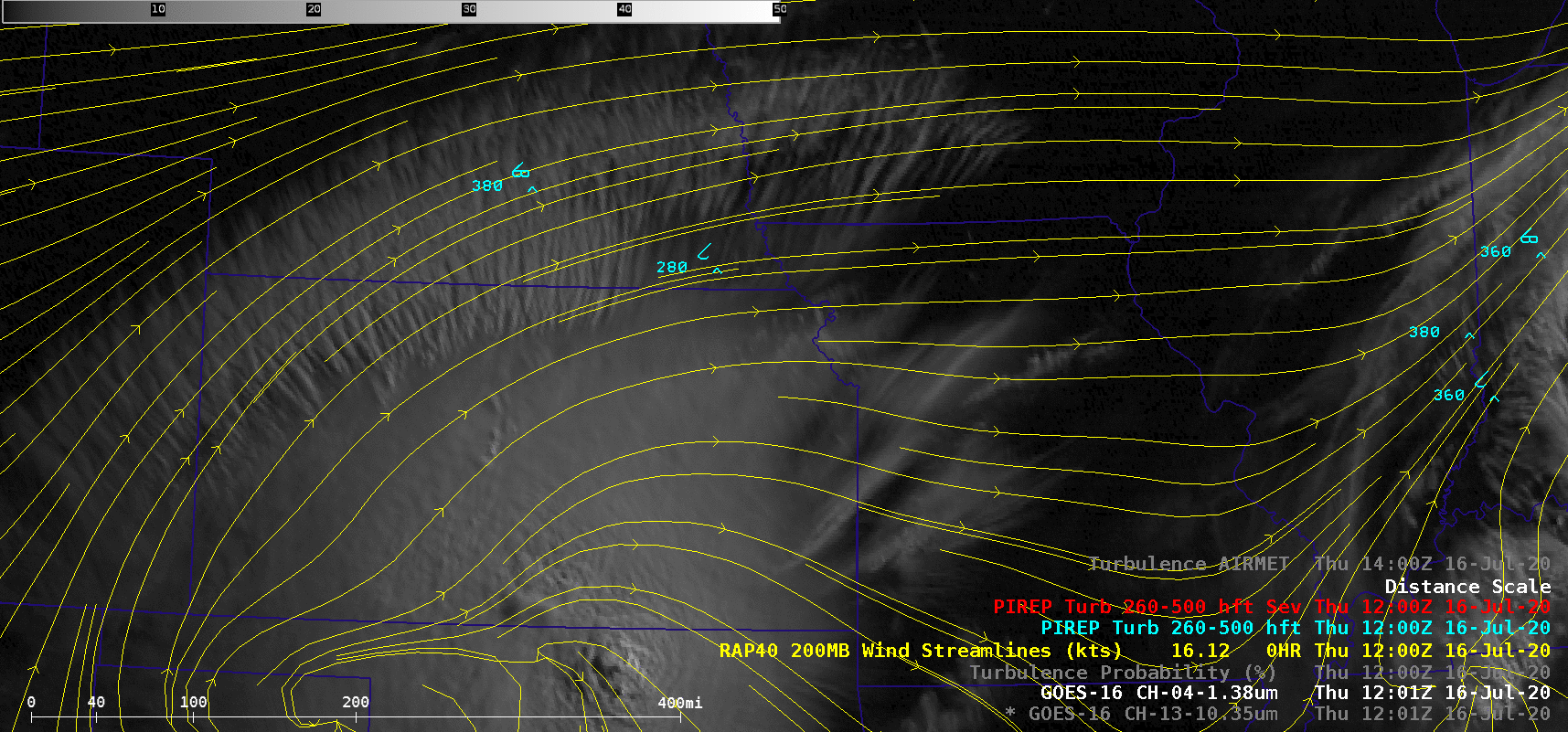
transverse banding — tendrils of cirrus clouds oriented perpendicular to the
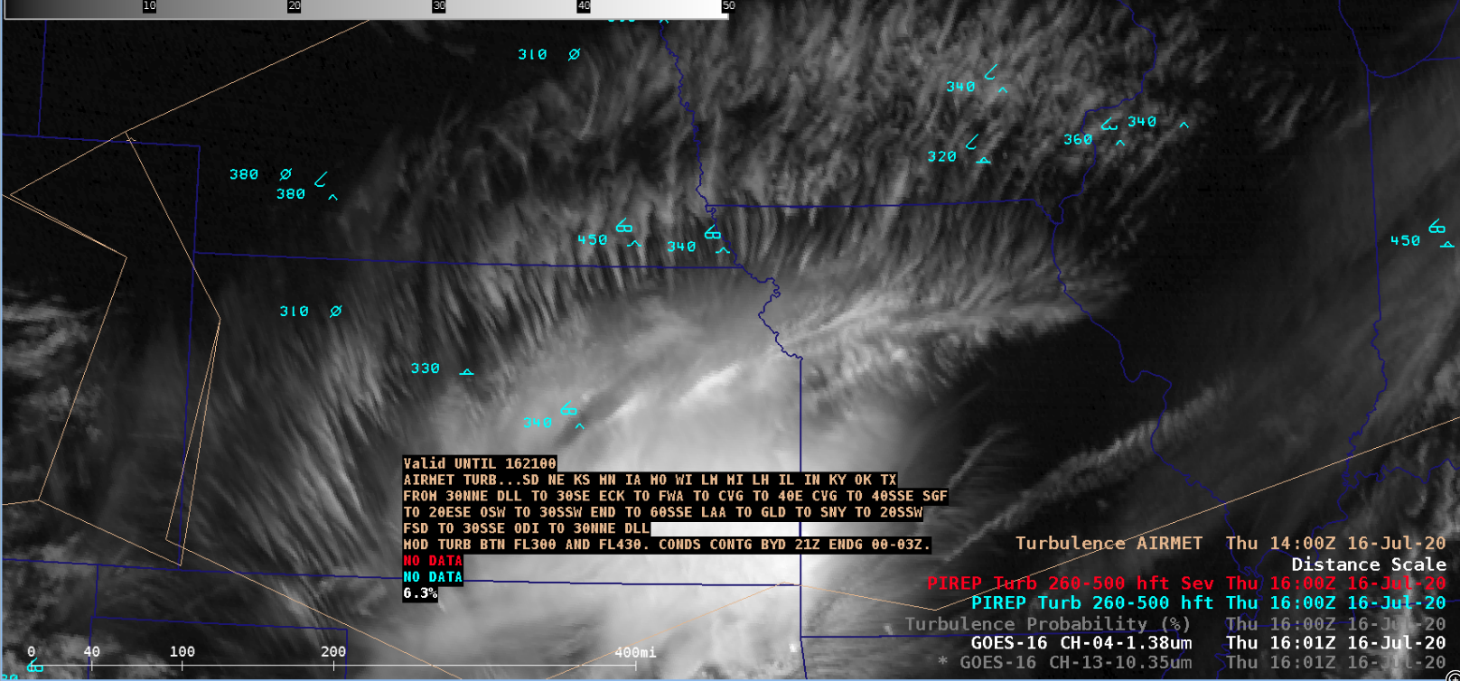
upper-tropospheric wind flow — along the northern periphery of the MCS. An
AIRMET was issued for that region (advising of moderate turbulence between
30,000 and 43,000 feet), and there were numerous Pilot Reports (PIREPs) of light to moderate turbulence in the general vicinity of the transverse banding features.
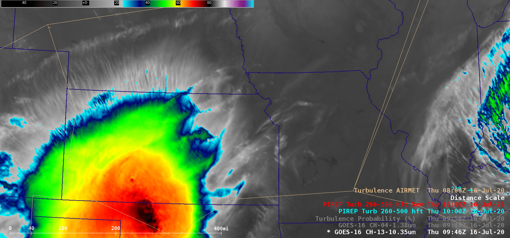
A GOES-16 Turbulence Probability product (below) did show scattered pockets of 25-35% probability in the transverse banding region. However, this product is designed to diagnose turbulence potential in the vicinity of features such as fronts and fields of convection.
![GOES-16 Turbulence Probability product, with plots of PIREPs and AIRMETs [click to play animation | MP4]](https://cimss.ssec.wisc.edu/satellite-blog/images/2020/07/200716_1230utc_goes16_turbulenceProbability_pireps_airmets.png)
GOES-16 Turbulence Probability product, with plots of PIREPs and AIRMETs [click to play animation | MP4]
from CIMSS Satellite Blog
https://cimss.ssec.wisc.edu/satellite-blog/archives/37655
![GOES-16 Turbulence Probability product, with plots of PIREPs and AIRMETs [click to play animation | MP4]](https://cimss.ssec.wisc.edu/satellite-blog/images/2020/07/200716_goes16_turbulenceProbability_pireps_airmets_Midwest_transverse_banding_anim.gif)
No comments:
Post a Comment